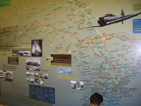
Interactive Map
In this exhibit the visitor presses one of six buttons presented on the control rail of a 12′ x 8′ interactive map to see the historical railroad routes in Southern Ontario. Fail proof electronics designed, produced and installed on a tight timeline. The exhibit tapped into Mystus’ long time expertise in electronics and our understanding of an essentially visual experience. We’ve done several interactive maps but this one is different in that the lights were sequenced to have a theatre marquis effect.
Date: Oct. 2005
Skills: Electronics

